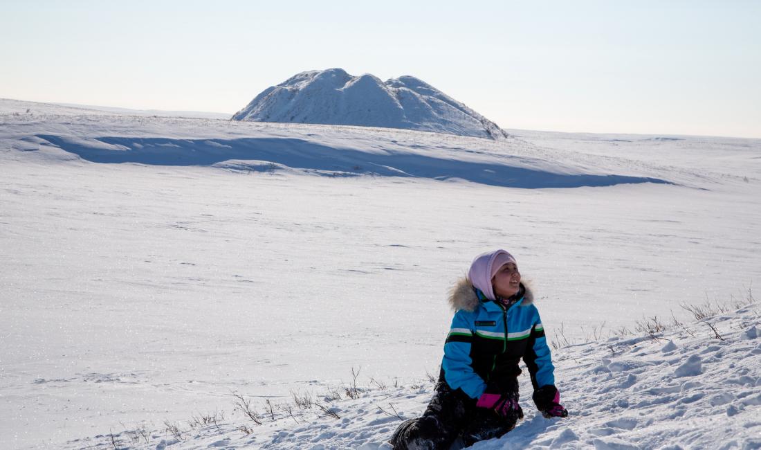
Inuvialuit Lands
Located in Canada’s western Arctic, the Inuvialuit Settlement Region (ISR) refers to the area covered under the Inuvialuit Final Agreement (IFA). The ISR was designated in 1984 in the IFA for the Inuvialuit people by the Government of Canada.
Covering the entire northern portion of the Northwest Territories, the ISR spans 1,172,749 square kilometres. Of this area, Inuvialuit own approximately 15,000 square kilometres of subsurface lands and approximately 90,000 square kilometres of surface lands.
The ISR consists of both Inuvialuit private lands and Territorial lands spanning several subregions, such as the Beaufort Sea, the Mackenzie River delta, the Yukon North Slope and the western Canadian Arctic islands.
In 2015, the estimated population of the ISR was 5,700 people, of which 3,300 are Inuvialuit. Of the six communities in the ISR, all are located in the Northwest Territories. There are no communities in the Yukon North Slope.